Track · v1.0.0 · Free
Cuesta de Miranda
28.1 kmPoint to point
2,066 mSummit
2Layouts
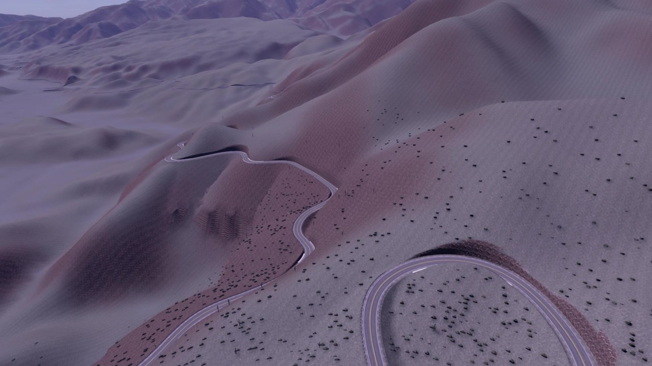
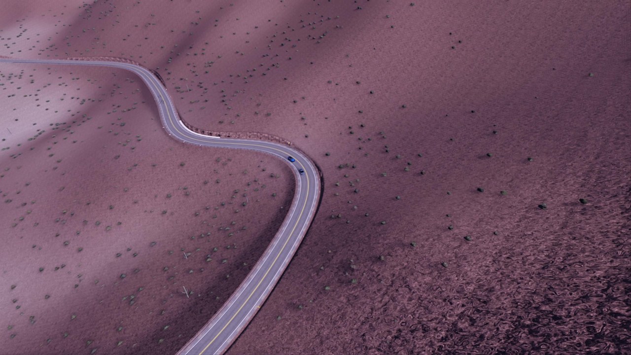
- Built from real elevation and survey data: the road follows the surveyed line and a fitted real profile, grades up to 9.5 %
- Downhill (start Los Tambillos) and Uphill (start Rio Miranda) layouts with A-B timing and a summit split
- The hairpin stack below the summit, the Mirador lay-by, 6 bridges over the creeks (the longest 76 m and 80 m)
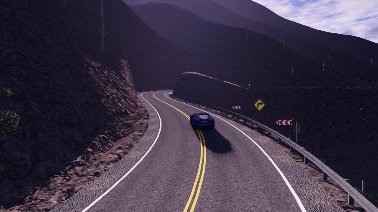
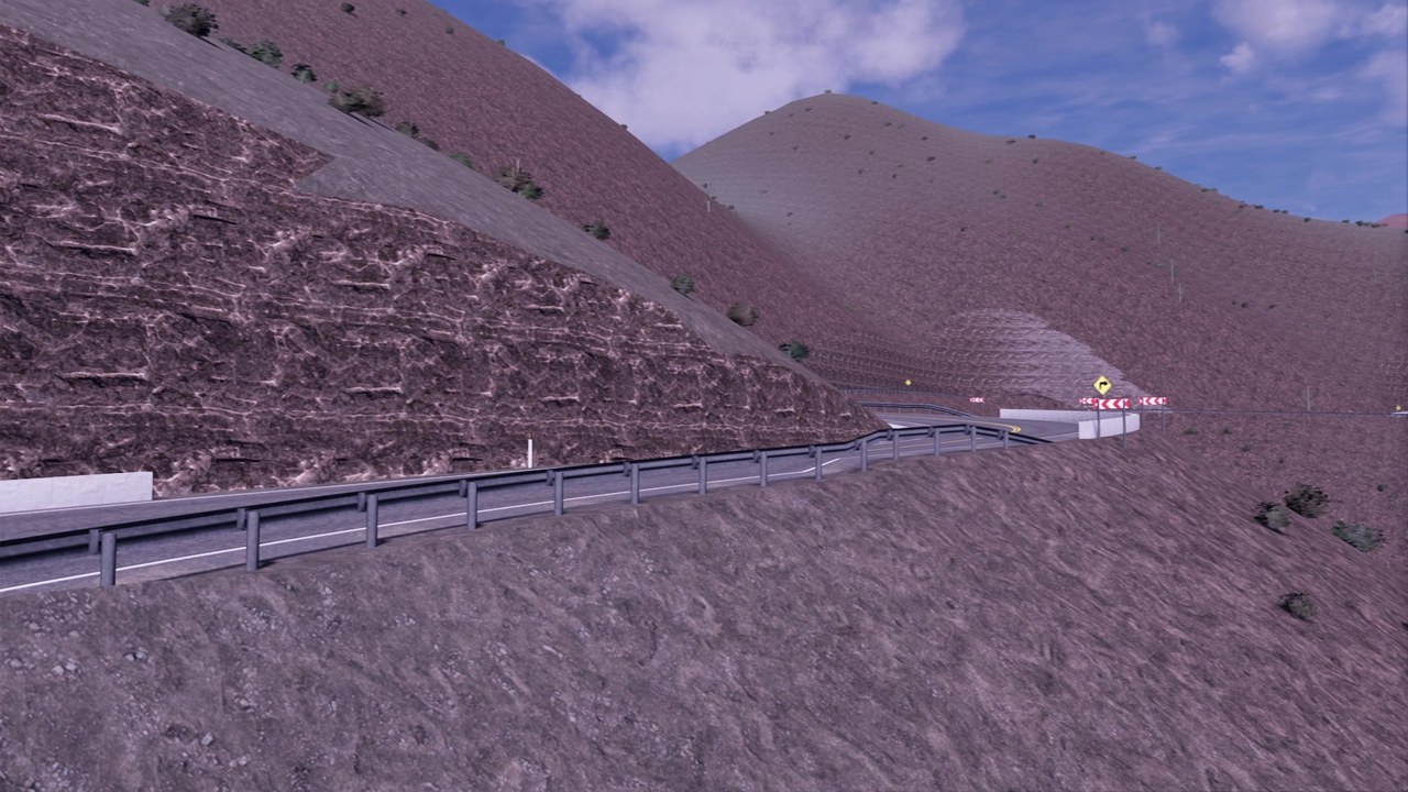
- Rock cuts in red Patquia sandstone and granite, retaining walls, guardrail, parapets on the hairpins
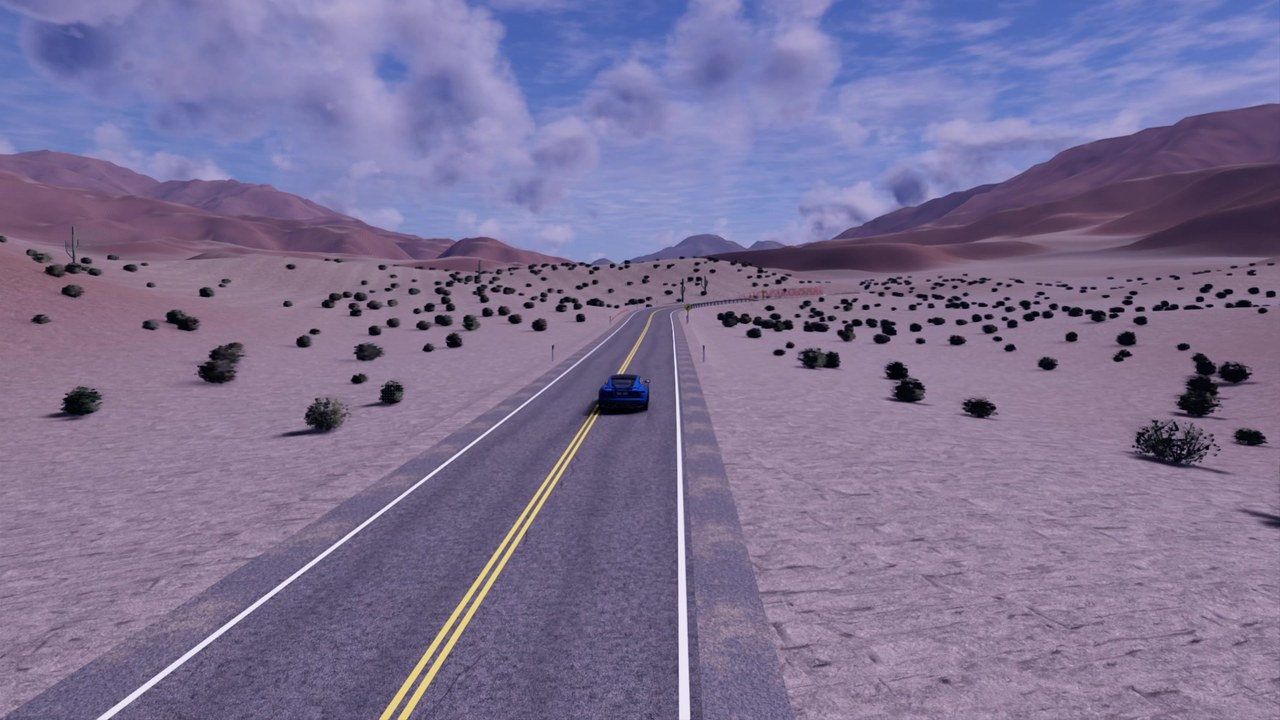
- Argentine signs, RN 40 shields, kilometre posts, chevrons and delineators; jarilla scrub and cardon cacti
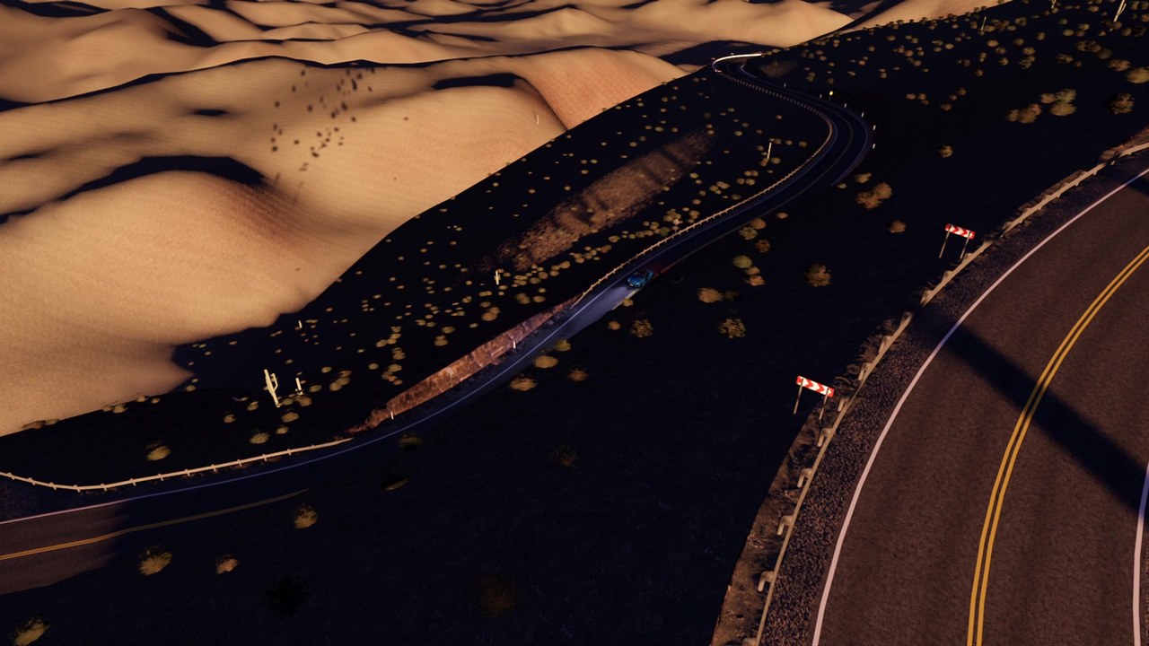
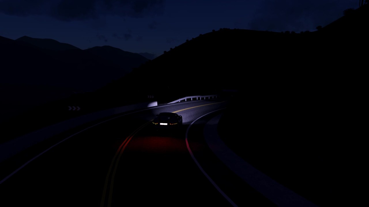
- Night as on the real road: no street lights, just headlights, reflective signs and delineators
- Works with the CSP Traffic Planner: traffic.json with right-hand traffic both ways, turning round at both ends
- File
- cuesta_de_miranda_v1.0.0.zip
- Version
- 1.0.0 (2026-10-31)
- Needs
- Content Manager and CSP 0.2.11 or newer (made on 0.3.0-preview445)
- Install
- Drag the zip onto Content Manager, or extract it so you get
content/tracks/cuesta_de_miranda - SHA-256
- c30a2ef00486616cb37d30daf1006951894e22f1b1b565ddf2b86ad34693e303
Free to download and use. If this track is used on a paid server, in a paid pack or in any paid product, contact the creator first: 4MGarage, 4mgarage.com/contact. The zip also includes an AI spline for AssettoServer servers; it is not yet tested on a live server and will be verified in a later version.